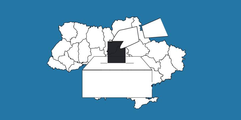
The OPORA network has created a map of the new rayons and hromadas of Ukraine
OPORA has created an interactive map of Ukraine, featuring the borders of the new rayons and hromadas, as well as information on the number of voters and types of election systems, functioning during 2020 local elections in autumn.
The map is available at: https://www.oporaua.org/longrid/map_2020.html

Tags:
rayon administrative and territorial structure
Source:
ОПОРА
20 April 2026
S3 Present and Future Part 1: What is Smart Specialisation and How It Gained Traction in the EU?
S3 Present and Future Part 1: What is Smart...
Smart Specialisation Strategies (S3) have become central to EU Cohesion Policy, guiding regional growth, innovation,...
20 April 2026
“This veteran space is all about support, respect and reassurance that you are not alone”
“This veteran space is all about support,...
In the municipality of Myronivka, support for veterans moved beyond formality a long time ago. During the first year...
17 April 2026
The case of Bilopillia: how communications save...
This is an excellent example of how to connect with people even in the most challenging circumstances, using the...
17 April 2026
Бюджетна декларація 2027–2029: чому громади пропонують змінити правила гри
Бюджетна декларація 2027–2029: чому громади...
Бюджетна декларація на 2027–2029 роки ще не ухвалена – і саме тому громади намагаються долучитися до її...