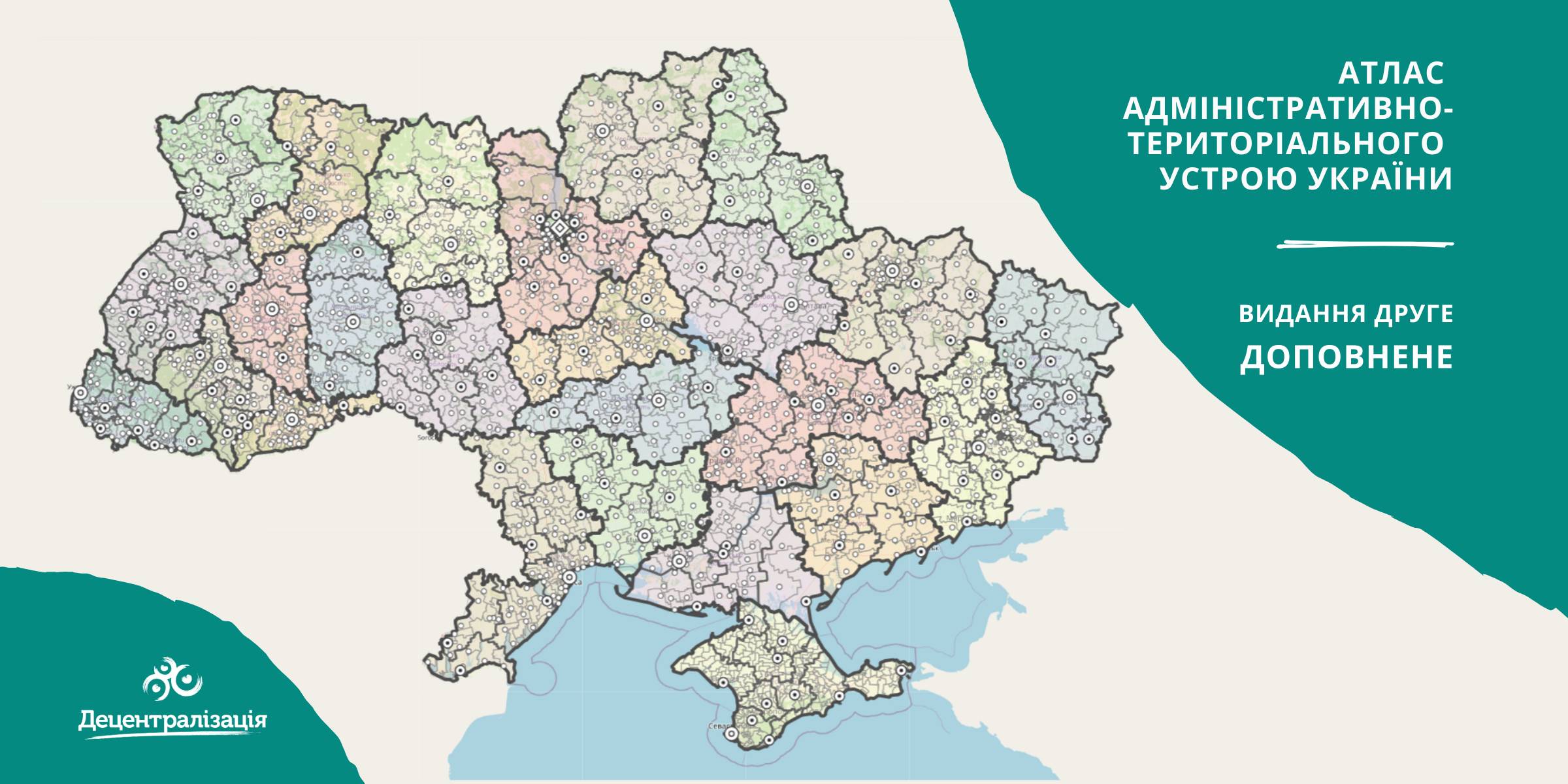
A collection of maps of administrative and territorial arrangement of Ukraine is available at the Decentralisation portal
- The second, updated edition of the collection of maps of administrative and territorial arrangement of Ukraine, including new rayons and territorial hromadas has appeared.
«Hromadas, rayons, population and the area are covered by the collection of maps. We tried our utmost to make it simple and easy to perceive and process the information. I think it will be helpful to high school pupils and students too. With time we are going to improve it», - commented Pavlo Ostapenko, the idea author and editor-in-chief of the collection of maps.

Tags:
administrative and territorial structure rayon Pavlo Ostapenko
Source:
Прес-центр ініціативи «Децентралізація»
23 September 2026
Медичне відновлення громад: проєкти, партнерства та можливості фінансування
Медичне відновлення громад: проєкти,...
30 вересня – 1 жовтня у Києві відбудеться конференція ReBuild Ukraine: Health & Rehabilitation 2026, присвячена...
23 September 2026
Locally-led Recovery: Polaris Programme Announces 8 Partner Hromadas
Locally-led Recovery: Polaris Programme...
The Polaris Programme “Supporting Multi-level Governance in Ukraine” has announced the selection results for...
23 September 2026
Від реагування до готовності: що потрібно громадам для безпечного водопостачання під час криз
Від реагування до готовності: що потрібно...
Генератор, резервна свердловина чи запас реагентів самі по собі ще не означають, що громада готова до водної кризи....
22 September 2026
Capacity building and empowerment of local communities in Ukraine
Capacity building and empowerment of local...
This article of the U-LEAD series identifies the additional and strengthened capacities that Ukrainian local...