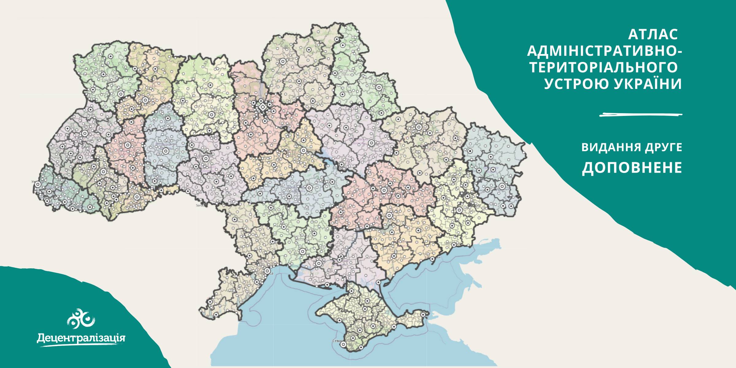
A collection of maps of administrative and territorial arrangement of Ukraine is available at the Decentralisation portal
- The second, updated edition of the collection of maps of administrative and territorial arrangement of Ukraine, including new rayons and territorial hromadas has appeared.
«Hromadas, rayons, population and the area are covered by the collection of maps. We tried our utmost to make it simple and easy to perceive and process the information. I think it will be helpful to high school pupils and students too. With time we are going to improve it», - commented Pavlo Ostapenko, the idea author and editor-in-chief of the collection of maps.

Tags:
administrative and territorial structure rayon Pavlo Ostapenko
Source:
Прес-центр ініціативи «Децентралізація»
02 November 2026
Planning the development of the network of academic lyceums
Planning the development of the network of...
In July 2021, the Verkhovna Rada of Ukraine amended the Law of Ukraine “On Comprehensive General Secondary Education”...
02 November 2026
Ресурси для відновлення та розвитку: нові можливості для громад і бізнесу у листопаді
Ресурси для відновлення та розвитку: нові...
Сьогодні українські громади щодня проходять випробування на стійкість. Російські атаки, перебої з...
02 November 2026
Country’s economic resilience begins in regions: Six projects under Produce! initiative
Country’s economic resilience begins in...
Every day, the war is testing the resilience of Ukraine’s economy: businesses are being destroyed, supply chains are...
02 November 2026
Реформування комунальних підприємств: для громад підготували практичний посібник
Реформування комунальних підприємств: для...
Реформування комунальних підприємств: для громад підготували практичний посібник Аналітичний центр EU-LEAP спільно...