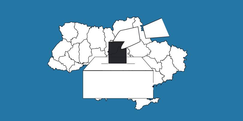
The OPORA network has created a map of the new rayons and hromadas of Ukraine
OPORA has created an interactive map of Ukraine, featuring the borders of the new rayons and hromadas, as well as information on the number of voters and types of election systems, functioning during 2020 local elections in autumn.
The map is available at: https://www.oporaua.org/longrid/map_2020.html

Tags:
rayon administrative and territorial structure
Source:
ОПОРА
19 June 2026
«Старі методи профорієнтації вже не працюють». Як у Броварському коледжі закохують дітей у професії
«Старі методи профорієнтації вже не працюють»....
Колись профорієнтація від закладів профтехосвіти виглядала так: агітбригада приїздила до школи, розкладала буклети й...
19 June 2026
Бюджетна декларація 2027–2029: ключові аспекти, що стосуються місцевого самоврядування
Бюджетна декларація 2027–2029: ключові аспекти,...
KSE Institute: Юлія Маркуц, Андрій Дарковіч, Владислав Шиманський Бюджетна декларація на 2027–2029 роки...
18 June 2026
Проєкт DECIDE – партнер Фестивалю «Вчителі майбутнього»
Проєкт DECIDE – партнер Фестивалю «Вчителі...
18-19 червня у Львові відбудеться Фестиваль «Вчителі майбутнього», який збере освітян, управлінців, експертів,...
18 June 2026
Уряд затвердив Середньостроковий план пріоритетних публічних інвестицій держави на 2027–2029 роки
Уряд затвердив Середньостроковий план...
Кабінет Міністрів України затвердив Середньостроковий план пріоритетних публічних інвестицій держави на 2027–2029...