The OPORA network has created a map of the new rayons and hromadas of Ukraine
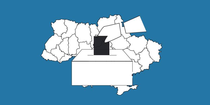
OPORA has created an interactive map of Ukraine, featuring the borders of the new rayons and hromadas, as well as information on the number of voters and types of election systems, functioning during 2020 local elections in autumn.
The map is available at: https://www.oporaua.org/longrid/map_2020.html

Tags:
rayon administrative and territorial structure
Source:
ОПОРА
30 October 2026
Stronger together: How clusters change regions’ economies
Stronger together: How clusters change regions’...
Rehabilitation does not end in the facility. A person’s journey to recovery continues in the community, in the...
30 October 2026
«Середа з U-LEAD»: каталог інформаційних заходів для громад на листопад 2026 року
«Середа з U-LEAD»: каталог інформаційних...
У листопаді Програма «U-LEAD з Європою» проведе серію відкритих інформаційних заходів для представників органів...
30 October 2026
Expert of NGO Foundation for Support of Reforms in Ukraine
Expert of NGO Foundation for Support of Reforms...
In times of uncertainty, the importance of trust grows. It often remains the invisible link that brings together...
30 October 2026
Humanitarian buses to be used for suburban and intercity transport: Verkhovna Rada passes law
Humanitarian buses to be used for suburban and...
On 29 October 2026, the Verkhovna Rada of Ukraine passed, at second reading and as a whole Law No. 15102, which...