Oster community: How digitising urban planning documentation changes the approach to land use planning
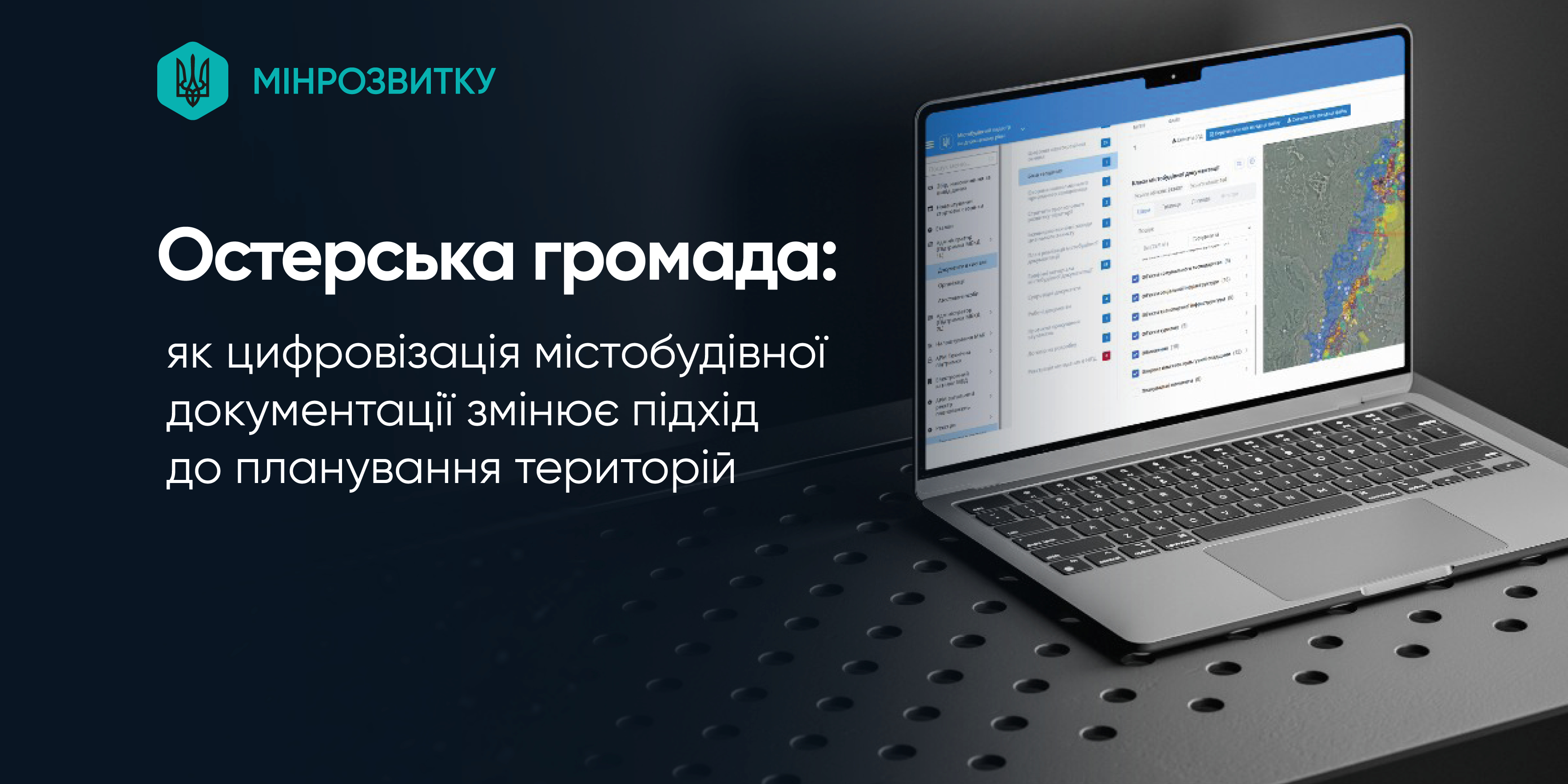
The Oster community in the Chernihiv region was one of the first in Ukraine to digitise all its urban planning documentation and integrate it into the State Urban Planning Cadastre (SUPC). This enabled the community to modernise land management, make planning processes transparent and prepare the ground for attracting investment.
As a result, a database containing more than 200,000 geospatial objects was created. These include:
- land plots (almost 46,000, linked into a single system),
- buildings and structures, roads, engineering networks,
- nature reserves and objects of the Emerald Network,
- historical and cultural monuments and archaeological sites,
- recreational and tourist routes,
- areas for the development of energy and production.
In this way, the community has obtained a comprehensive overview of spatial development, taking into account both the current situation and future prospects.
This has provided the community with a useful tool for managing the development of its territories: architects and developers have access to up-to-date information, local authorities have access to analytics for decision-making, and residents have access to open data on planning.
Today, the Oster community is working on a comprehensive spatial development plan*, which includes:
- creating an eco-industrial park covering over 75 hectares between Oster and Zhukivshchyna;
- development of solar and wind energy on an area of over 250 hectares;
- launching new tourist routes and recreational areas.
The Oster community is a prime example of how the digitisation of urban planning documentation can be used as a practical tool for sustainable development and reconstruction, and this approach can be scaled up to other communities in Ukraine.
As previously reported, the Urban Development Cadastre began operating at the state level in November 2024. Its purpose is to create a unified electronic system for storing urban development documentation and supporting documents that is easily accessible to government agencies, local administrations, certified architects, engineers, and experts.
The Urban Development Cadastre at the national level is being implemented in cooperation with the Ministry for Development of Communities and Territories of Ukraine and the Ministry of Digital Transformation of Ukraine, with the support of the project ‘Digitalisation for Growth, Integrity and Transparency’ (UK DIGIT), which is being implemented by the Eurasia Foundation and funded by UK Dev. The project partner is the East Europe Foundation.
*The comprehensive spatial development plan for the Oster community was developed as part of the USAID AGRO programme.

01 November 2025
Децентралізація: найважливіше за жовтень
Децентралізація: найважливіше за жовтень
На початку кожного місяця портал «Децентралізація» підбиває підсумки рішень Уряду та Парламенту, що стосуються...
31 October 2025
Конкурсний відбір територіальних громад для...
Ми отримали понад 500 заявок від територіальних громад з усіх областей України. Ми провели два етапи...
31 October 2025
Мінрозвитку оприлюднило звіт за результатами...
Міністерство розвитку громад та територій України оприлюднило звіт за результатами публічних консультацій щодо...
31 October 2025
«Агломерація – це не політика, а спосіб зробити громади сильнішими»
«Агломерація – це не політика, а спосіб зробити...
Інтерв’ю з Романом Кізимою, виконавчим директором Асоціації органів місцевого самоврядування «Львівська...